Loch Linnhe is a sea loch on the west coast of Scotland
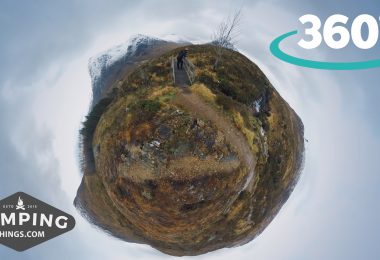
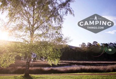
This pull-in off the A82 is a popular spot for a picnic by the loch. Exceptionally photogenic, Loch Linnhe is a great place to take some snaps – whether you’re a novice or a pro photographer wanting to hone your skills.
How to get here
The picnic site is between Ballachulish and Fort William, about 2 miles (3km) north of Corran Ferry or 6 ¼ miles (10km) south of Fort William. Grid reference NN 040 656.
Stop here for a rest and take in the views. When the sun is out you can have a dip in the loch. Also a good spot for a bit of fishing. Lynne Grays, Thurrock
This picnic area about 15 minutes drive south of Forth William along Loch Linnhe is maintained by the Forestry Commission of Scotland (FCS) and is a lovely place to stretch your legs and look up and down the loch. There is ample parking and several picnic tables.
At low tide it’s possible to walk out onto the flat rocky bank of the lake and see the places where the seaweed has fastened itself to boulders that will disappear back under the water when the tide comes in. We didn’t see any, but some guidebooks say that seals and dolphins are sometimes present. M D London
Loch Linnhe is a sea loch on the west coast of Scotland. The part upstream of Corran is known in Gaelic as An Linne Dhubh, and downstream as An Linne Sheileach. The name Linnhe is derived from the Gaelic word linne, meaning “pool”
Loch Linnhe in Scotland has a special attraction to photographers due to its fantastic scenery and sunsets. Not only photographers enjoy this unique location the area offers many other outdoor activities like kayaking, fishing, sailing and walking.
At 31 miles long and about 1.2 miles wide it stretches past Fort William, fed from the North by Loch Eil and continues south as far as the Firth or Lorne, the Loch is fed from the East by Loch Creran and opens up into the Firth of Lorne at its South Western point.
Loch Linnhe Wildlife
Wildlife in the Loch is in abundance with many seals taking advantage of its small islands throughout its length; also popular are porpoises, Dolphins and many sea birds you could even see Golden Eagles souring above. A great way to take advantage of the scenery is to take a trip from Fort William with Crannog Cruises, the cruise will give you the chance to see Britain’s highest Mountain Ben Nevis from the loch, and will take you to Seal Island to see the Common and Grey Seals. Another good way to see the loch is to simply drive around and pull over at the many parking areas around the Loch.
Loch Linnhe follows the line of the Great Glen Fault, and is the only sea loch along the fault.[2] About 50 kilometres (31 mi) long, it opens onto the Firth of Lorne at its southwestern end. The part of the loch upstream of Corran is 15 kilometres (9.3 mi) long and an average of about 2 kilometres (1.2 mi) wide. The southern part of the loch is wider, and its branch southeast of the island of Lismore is known as the Lynn of Lorne.
Loch Eil feeds into Loch Linnhe at the latter’s northernmost point, while from the east Loch Leven feeds in the loch just downstream of Corran and Loch Creran feeds into the Lynn of Lorne. The town of Fort William lies at the northeast end of the loch, at the mouth of the River Lochy.
Please share your secret campsites, tales and trails & trekking experiences with campingthings.com on our message board
Stay in touch